Discover science
The world's first crop map from satellite imagery
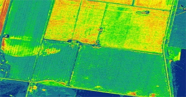
Pakistan's Tribune website on September 1 reported that Pakistan became the first country in the world to use satellite imagery to map crops.
Browse ScienceInfo articles and explainers related to Satellite Imagery.
3 published items.
Pakistan's Tribune website on September 1 reported that Pakistan became the first country in the world to use satellite imagery to map crops.
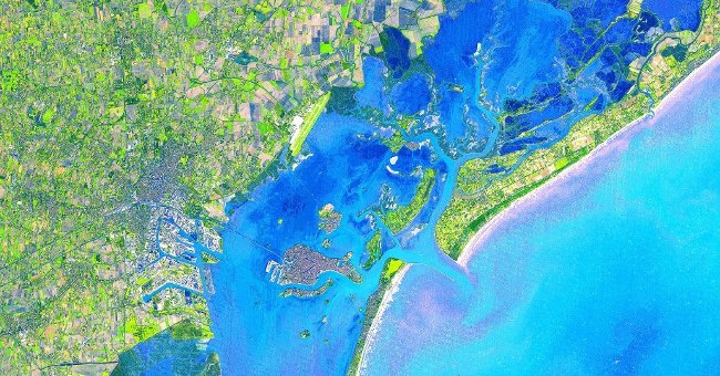
Since launching into space in 1999, ASTER radiometer on Terra satellite of NASA's Aerospace Agency (NASA) captures 99% of the Earth's surface through 2.95 million images.

The US Geological Survey (USGS) has just released the latest satellite images showing significant changes in our Earth over the past four decades.